

Dr. I Made Andi Arsana, a geospatial expert from UGM’s Department of Geodesy, UGM Faculty of Engineering (FT UGM), addressed the controversy over sea fencing in northern Tangerang.
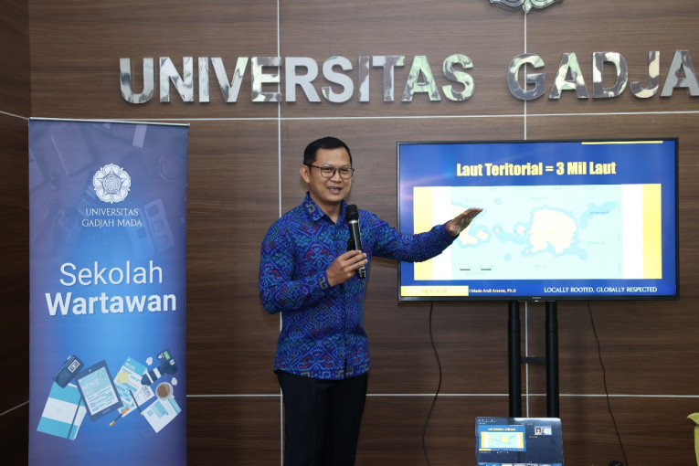
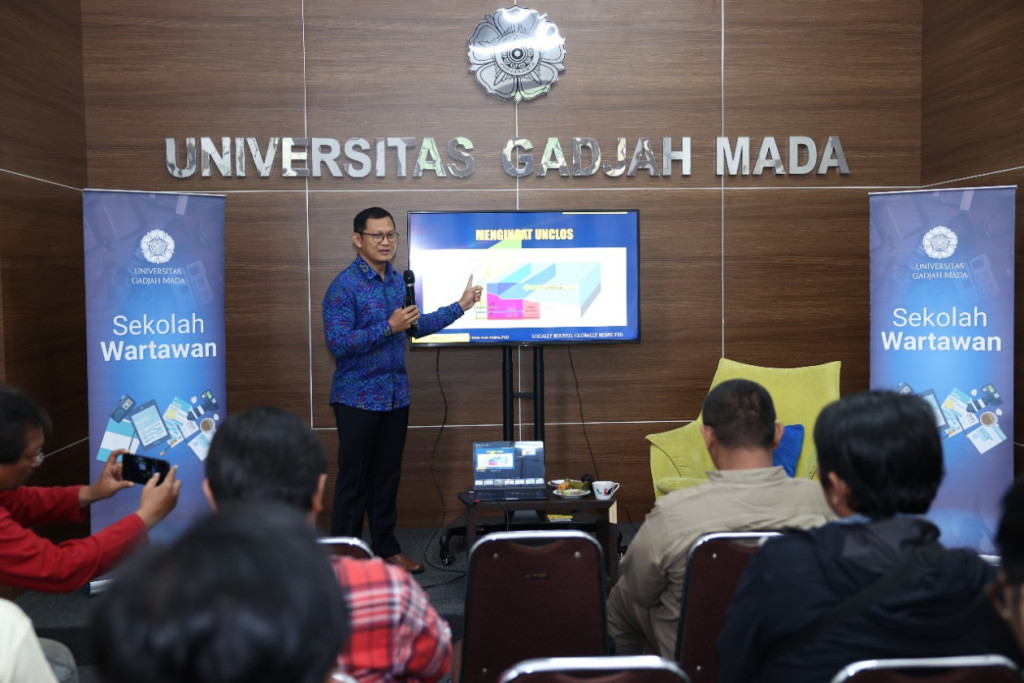
Dr. Arsana stated that, according to international regulations (UNCLOS – United Nations Convention on the Law of the Sea), northern Tangerang’s waters are archipelagic, meaning their sovereignty cannot be owned by individuals or companies.
Coastal Water Utilization Rights (HP3) were once regulated by Law No. 27 of 2007, but the Constitutional Court annulled it due to non-compliance with fairness principles.
Dr. Arsana made this statement during the ‘Mapping the Sea Fencing Dispute’ Sekolah Wartawan event held by the UGM Campus Journalists Forum (Fortakgama) on Thursday (Jan. 30) at the UGM Central Office.
“There is a clear lack of understanding of spatial planning policies as the fencing does not align with Banten Province’s coastal and marine zoning,” Dr. Arsana remarked.
He also refuted claims that the sea fence in Tangerang was built on previously submerged land. The idea that the sea fence is for erosion control is also inaccurate. Dr. Arsana and his team conducted a study using satellite imagery archives showing the area has always been water.
Satellite data from 1976 indicated that the shoreline was still hundreds of meters away from the current location of the sea fence, and this remained the case up to 1982, despite claims of land certificates.
“This case indicates efforts to convert sea into land by various means,” Dr. Arsana explained.
The expert and his team also investigated the first appearance of the sea fence using satellite imagery.
Based on Sentinel 2 data, construction is estimated to have started in May 2024. A 6-kilometer fence was already built by June, extending to 6-7 kilometers by July and continuing until November.
“Under international law, there should be no land ownership (SHM) or building rights (HGB) in those waters, as privatizing the sea affects fishing communities who rely on the ocean for their livelihood,” he noted.
The granting of land rights along Tangerang’s coast stems from early errors during certificate applications.
Dr. Arsana also outlined the various parties involved in the issue, including individuals and legal entities as applicants, the Spatial Planning Office or regional government, National Land Agency (BPN) surveyors, and relevant ministries or institutions.
“It’s important to remember that individuals or legal entities should not alter marine zones into reclamation areas without permission,” he concluded.
Author: Triya Andriyani
Post-editor: Afifudin Baliya
Photographer: Firsto