

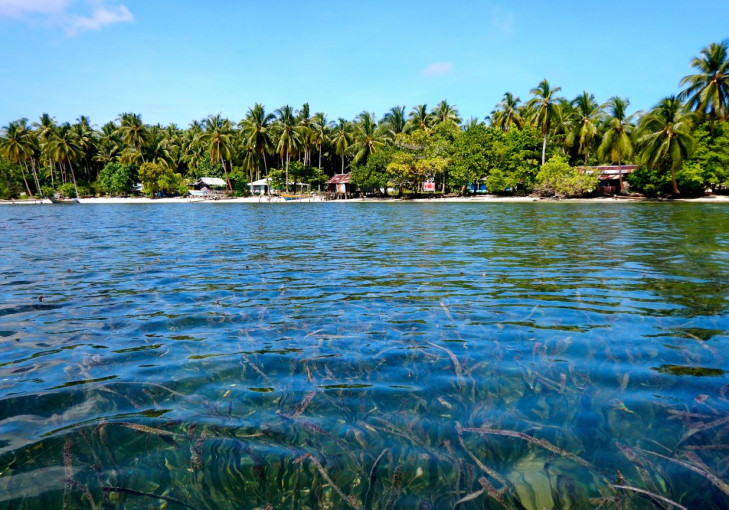
Seagrass meadows play a crucial role in sustaining marine life, maintaining water clarity, and stabilizing sediments in coastal waters. Yet this angiosperm vegetation is often overshadowed by the appeal of coral reefs and the density of mangrove forests.
Seagrass provides essential ecological functions, serving as nursery grounds for thousands of fish species, binding sediments to prevent abrasion, storing carbon, and supplying a primary food source for protected megafauna such as dugongs and green turtles.
A team of researchers from Universitas Gadjah Mada (UGM), in collaboration with the National Research and Innovation Agency (BRIN), the Ministry of Marine Affairs and Fisheries (KKP), the Geospatial Information Agency (BIG), and Hasanuddin University under the Indonesia Seagrass Mapping Partnership, has completed the mapping of coral reefs and seagrass meadows. During the final phase of the mapping project, Yayasan Konservasi Alam Nusantara (YKAN) joined to provide important support in the process of public validation and the finalization of the map and accompanying documents.
According to Professor Pramaditya Wicaksono, an expert in Coastal Biodiversity Remote Sensing at UGM and the coordinator of this project, the map is scheduled for release in November 2025.
“The map is complete and ready to launch. With this, we finally have the country’s first validated national seagrass map,” Professor Wicaksono said on Tuesday (Nov.4).
Professor Wicaksono, commonly known as Prama, explained that seagrass mapping presents greater challenges than mangrove mapping.
“Seagrass is located below the water surface, making the mapping process more demanding. Mangrove canopies, by contrast, are above water and can be directly observed through satellite imagery,” he said.
He added that infrared and similar wavelengths are absorbed by water, limiting the range of spectral bands available for seagrass mapping compared to mangroves.
The national seagrass mapping effort, he explained, uses Sentinel-2 satellite imagery with a spatial resolution of 10×10 meters, integrated with field survey data and processed using machine-learning algorithms. The accuracy of the resulting map is ensured through two stages: direct field validation and public validation.
“We also invited stakeholders across Indonesia, from NGOs and universities to central and regional governments, to contribute to the validation process. Their feedback was reviewed as part of the map’s finalization,” he added.
The UGM lecturer in Digital Image Analysis and Remote Sensing Modeling at the Faculty of Geography also highlighted the threats to seagrass ecosystems, including unresolved sedimentation issues. Sediments entering coastal waters cause turbidity, preventing seagrass from photosynthesizing optimally.
“These sediments may also contain nutrients that stimulate excessive algal growth, putting seagrass at a competitive disadvantage,” he explained.
He further noted that other significant threats persist, including coastal infrastructure development and reclamation activities that remove seagrass meadows, spatial competition with seaweed aquaculture, and physical damage from propellers on tourist boats.
Given these active threats, Professor Wicaksono emphasized that the newly completed map cannot remain a static document.
The most important next step, he said, is conducting regular monitoring to assess the actual impacts of these threats.
“What matters now is ensuring that mapping can be carried out routinely. We need not only information on seagrass at one point in time, but also data on its dynamics, whether it is declining or expanding,” the professor concluded.
Author: Aldi Firmansyah
Editor: Gusti Grehenson
Post-editor: Salma
Photograph: Mongabay