

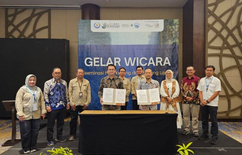
The Faculty of Geography, Universitas Gadjah Mada (Geography UGM), together with the Indonesian Seagrass Mapping Partnership (ISMP) consortium, officially submitted the 2025 National Coral Reef and Seagrass Map to the Ministry of Marine Affairs and Fisheries of the Republic of Indonesia on Thursday (Dec. 4) in Jakarta.
Symbolically, the handover was conducted by Professor Muhammad Kamal, Dean of Geography UGM, representing the ISMP Consortium, to the national data custodian through the Director of Ecosystem Conservation at the Ministry of Marine Affairs and Fisheries, Dr. Muh Firdaus Agung Kunto Kurniawan, witnessed by representatives of the ISMP team and the ministry’s Data and Information Center.
According to Professor Kamal, the National Coral Reef and Seagrass Map produced today is not merely a visual representation. It constitutes primary data, a scientific foundation, and an invaluable strategic guide for future management of Indonesia’s coastal resources, grounded in evidence-based policy and science-based management.
“This handover marks a monumental achievement in Indonesia’s efforts to strengthen marine and coastal resource management through accurate and up-to-date geospatial data,” said Professor Kamal in a statement released on Monday (Dec. 8).
He added that the submission of the map also marks a crucial milestone for the ministry. As the national data custodian, the ministry is now officially fully responsible for updating and integrating geospatial data.
This integration is vital, as the data will serve as the foundation for conservation policies, marine spatial planning, Nationally Determined Contributions (NDC), and sustainable development of coastal and marine areas across Indonesia.
The strategic geospatial map was realized through synergistic inter-agency collaboration initiated in 2022. This strategic collaboration was led and coordinated by Dr. Pramaditya Wicaksono from the Faculty of Geography, involving various institutions that are members of the Indonesian Seagrass Mapping Partnership (ISMP).
As the project team leader, Dr. Wicaksono emphasized the commitment to ensuring the sustainability of mapping efforts. The ISMP team has taken proactive steps through capacity-building initiatives.
Since 2024, ISMP has conducted two Training of Trainers (ToT) programs in Belitung (with support from UNDP Indonesia) and Makassar (with support from the ministry’s Directorate of Ecosystem Conservation), equipping participants with skills in field surveys, data processing, and the use of cloud processing platforms for coral reef and seagrass mapping.
In addition, the ISMP team has developed the Seagrass Connect application as a platform to engage communities in data collection and community-based monitoring of seagrass conditions.
By submitting the 2025 National Coral Reef and Seagrass Map, the ISMP team reaffirmed its commitment to providing a solid scientific foundation for Indonesia’s marine management.
“This map is a legacy of multi-stakeholder collaboration that is expected to bridge the gap between research and policy,” he explained.
Dr. Wicaksono outlined that the development of the National Coral Reef and Seagrass Map was carried out in three phases.
In the first phase (2022-2023), the team mapped the distribution and variability of seagrass data held by various stakeholders.
In the second phase (2022-2025), the main focus was on developing and implementing a robust mapping framework, which was then applied to map seagrass meadows and coral reefs at the national level.
This process was supported by global experts, including Associate Professor Chris Roelfsema, with extensive experience in global seagrass and coral reef mapping, and Dr. Mitch Lyons from the University of New South Wales (UNSW) in cloud data processing.
One of the key outcomes of the second phase was the issuance of the Decree of the Director General of Marine and Marine Spatial Management Number 45 of 2024.
This decree serves as a national technical guideline for the preparation of geospatial information on shallow marine benthic habitats, covering scale standards, classification schemes, and data quality benchmarks that can be used as national references for future map updates.
Finally, in the third phase (2025), Dr. Wicaksono noted that the ISMP team, supported by the Yayasan Konservasi Alam Nusantara (YKAN), conducted public validation and finalized the national coral reef and seagrass maps, along with their supporting documents.
Through the ministry, the national data custodian, these vital geospatial data are now ready to be fully integrated to achieve conservation targets, promote the prudent use of marine space, and ensure the sustainability of coastal ecosystems for future generations.
Collaboration and the use of technology are key to safeguarding Indonesia’s marine wealth in an evidence-based and science-based manner.
The development of this map involved a multi-stakeholder partnership comprising government agencies and research institutions, including Dr. Novi Susetyo Adi from the Ministry of Marine Affairs and Fisheries; Dr. Udhi Eko Hernawan, Dr. Nurul Dhewani Mirah Sjafrie, Dr. Bayu Prayudha, M. Hafizt, and Sofia Yuniar Sani from the National Research and Innovation Agency (BRIN); as well as Dr. Doddy Mendro Yuwono from the Geospatial Information Agency (BIG).
The collaboration also involved several academics from Indonesia and abroad, including several UGM scholars, Professor Rohani Ambo Rappe and Dr. M. Banda Selamat from Hasanuddin University, and Associate Professor Chris Roelfsema from The University of Queensland, Australia.
Funding for the mapping initiative was provided by The David & Lucile Packard Foundation, while Yusuf Fajariyanto and the YKAN team supported finalizing the maps.
Author: Aldi Firmansyah
Editor: Gusti Grehenson
Post-editor: Rajendra Arya
Photograph: Geography UGM