• News Archive
  • Simaster
  • Webmail
  • Directory
  •  English
    • Indonesia
Universitas Gadjah Mada Universitas Gadjah Mada Universitas Gadjah Mada Universitas Gadjah Mada
  • Education
    • Doctoral dissertation
    • Inauguration of Professor
    • Graduation
  • Achievement
  • Research and Innovation
    • Research
    • Innovation
  • Campus Info
    • Cooperation
    • Seminar and Workshop
    • Student Community Service Program
    • Other
  • News Report
  • Home
  • News Report
  • Remote Sensing Important for Disaster Mitigation

Remote Sensing Important for Disaster Mitigation

  • 17 October 2016, 09:20 WIB
  • By: Marwati
  • 2009
  • PDF Version
Penginderaan Jauh Penting Untuk Mitigasi Bencana

Remote sensing technology is indispensable for area mapping, including in the disaster mitigation efforts. Remote sensing data and spatial analysis can be used as an effective tool for reducing the impact of natural disasters.
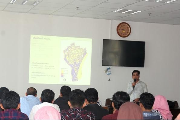
"Through remote sensing data, we can identify and map the post-disaster damage," said Muhammad Al-Amin Hoque, Assistant Professor of the Department of Geography and Environment, Jagannath University Bangladesh, Thursday (13/10), at the Faculty of Geography UGM.

At the Ph.D Talk event organized by Master Program of Remote Sensing Faculty of Geography UGM, Hoque explained his research entitled "Cyclone Disaster Mapping, Monitoring and Management Using Satellite Remote Sensing and Spatial Analysis".

He told the audience that in Bangladesh, especially in the Bengal Bay, tropical storm could occur 2-3 times each year which could cause many casualties and infrastructure damage. The tropical storm is unavoidable, but the casualties and infrastructure damage can be minimized.

"One of the tools that are crucial to help this process is the remote sensing data," explained by the doctoral candidate of Remote Sensing Research Centre of The University of Queensland Australia.

Hoque said that beside being used for identification and mapping, remote sensing data can be used for monitoring before and after the disaster. Not only that, it can be used for disaster management as an evacuation route determination, determination of shelter, and others.

"Remote sensing can be used to create a model of future disaster vulnerability that can be adapted to climate change scenarios," he said. (UGM / adelily)

Related News

  • Remote Sensing to Develop Student's Spatial Thinking

    Tuesday,07 November 2017 - 15:29
  • Earning Doctoral Degree After Studying Image Mining

    Monday,03 July 2017 - 14:21
  • Women Have Role in Disaster Risk Management

    Friday,22 December 2017 - 10:00
  • Hoping to Have Disaster Resilient Campus

    Friday,07 December 2012 - 13:02
  • On Development, Governments Needs to Consider Disaster Risk Factors

    Friday,28 November 2014 - 15:42

News Releases

  • Agricultural Engineering Students Grab Medals at 2022 AE-ARC 20 May 2022
    UGM Agricultural Engineering students won four medals and
    Salma
  • UGM Students Win International Chess Tournament 19 May 2022
    UGM representatives have been named winners at the 25th GA
    Salma
  • UGM Researchers Breed New Black Soybean Cultivar 17 May 2022
    A team of researchers at the UGM Faculty of Agriculture is
    Salma
  • UGM Inaugurates New Professor of Chemical Engineering 13 May 2022
    Universitas Gadjah Mada (UGM) celebrated the promotion of
    Salma
  • UGM Among World’s 10 Best Universities to Deliver SDG 1 10 May 2022
    Universitas Gadjah Mada (UGM) was ranked in the top 10 glo
    Salma

Info

  • Install Fest Windows
    29 September 2017
  • Streaming Author Workshop Writing and Publishing
    14 July 2017
  • Hokkaido University Short Term Exchange Program HUSTEP
    08 January 2016
  • 2016 Amgen Scholars Program in Japan
    08 January 2016
  • Jardine Foundation Scholarship for Postgraduate Studies at University of Oxford and University of Cambridge
    01 July 2015

Event

  • 30May International Academic Conference on Tourism (INTACT) 2022 ...
  • 21Jul The International Conference on Sustainable Environment, Agriculture, and Tourism (ICOSEAT)...
  • 07Sep The 8th International Conference on Science and Technology (ICST 2022)...
Universitas Gadjah Mada
UNIVERSITAS GADJAH MADA
Bulaksumur Yogyakarta 55281
   info@ugm.ac.id
   +62 (274) 588688
   +62 (274) 565223
   +62 811 2869 988

PARTNERSHIP

  • Alumni
  • International Affairs

ABOUT UGM

  • Rector's Welcome
  • History
  • Vission and Mission
  • The Board of Executive
  • Management

VISIT UGM

  • Campus Map
  • Event

REGISTRATION

  • Undergraduate
  • Graduate
  • Vocational School
  • Professional Program
  • International Program

© 2022 Universitas Gadjah Mada

PRIVACY POLICYCONTACT