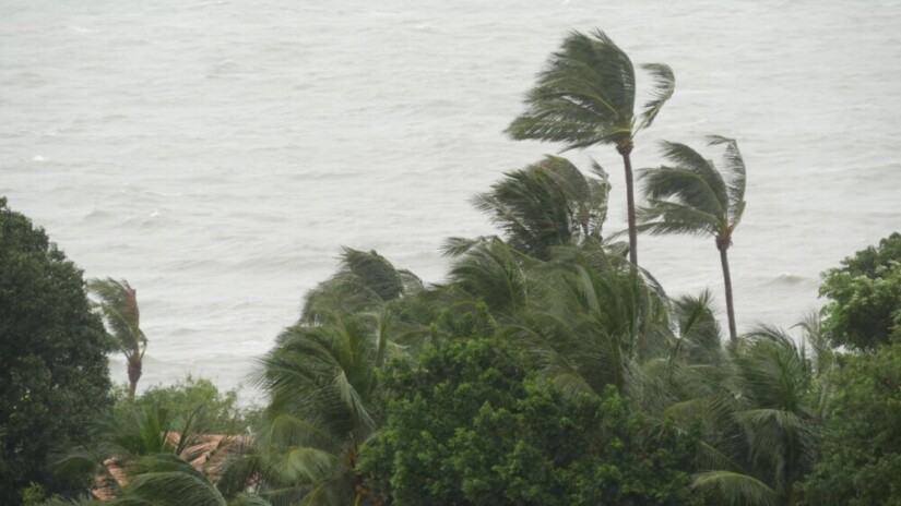
Indonesia is currently entering a season of extreme weather. One of which is several areas in Nusa Tenggara Timur that were recently hit by a tropical cyclone. Researcher of the Faculty of Geography UGM, Dr. Emilya Nurjani, S.Si., M.Si., mentioned that this disaster could happen in other areas as in Indonesia. In order to prevent this, there should be socialization on disaster mitigation, such as strengthening building construction, listing emergency procedures, and developing research regarding cyclone prediction to reduce the disaster risks.
“Indonesia indeed has not applied the evacuation on the hurricane and storm surge. However, it is better if we acknowledge the mitigation and adaptation first, considering the projected increase in sea surface temperatures ahead will lead to the high possibility of tropical cyclones,” he said.
She revealed there were different disaster effects on each area in Indonesia. A tropical cyclone in the southern waters will likely have bigger effects on some areas such as Java, Bali, and Nusa Tenggara compared to Sumatra or coastal areas in Kalimantan. Meanwhile, a northern tropical cyclone will affect some areas in Sumatra and Kalimantan to cause heavy rain.
“Disaster knowledge should be taught around Indonesia according to the portion of its disaster risk on each area,” she said.
She also mentioned, the tropical cyclone 995 formed in the Sawu Sea caused extreme weather in Pulau Timur. There is a formation of a tremendous tropical storm system, and it develops over warm waters near the equatorial area. Cyclone growth requires an available warm water vapor in areas between 5-30 degrees in the northern latitudes and southern latitudes of the Earth, as well as a Coriolis effect that is the implication of the Earth’s rotational motion on its axis.
“The Coriolis causes deflection movement on the wind. The greater the latitude, the greater the wind deflection occurs. So there won’t be effects occurring in the equatorial area or zero latitudes,” she explained.
There are a few stages of cyclone development. First, it starts from tropical disturbances, tropical depressions, tropical storms, and then it turns into tropical cyclones. It turns into a cyclone term when the development reaches the tropical storm. Emilya continued in the condition of tropical cyclones, the speed of the wind reached up to 64 knots or 74 meters per hour. The effect caused could be in the form of heavy rain, strong wind, or storm surge.
“Some research revealed it could affect some areas 50 km from the central cyclone,” she said.
Emilya revealed that Indonesia actually has a little possibility of cyclones forming because Indonesia’s surface temperature is quite low, and the Coriolis effect is relatively small. Nonetheless, it slowly begins to form, especially in the transition season from rainy season to dry season, or otherwise. This condition is caused by climate changes which increase the sea surface temperature.
“In the southern and northern waters of Indonesia, there are a lot of cyclones formed. It could be formed 5-8 cyclones in a year with various speeds and effects,” she said.
Since the Tropical Cyclone Warning Centre (TCWC) was released, there has been good handling of its early detection. Citra satellite or radar can detect the smallest cyclone when it develops as a tropical disturbance. It can also detect the cyclone’s direction of movement and speed so the time it arrives on the mainland can be estimated. However, each area has its preparation to conduct mitigation. One of the challenges from the cyclone prediction is when the cyclone direction suddenly changes.
“There should be more collective work between Meteorological, Climatological, and Geophysical Agency (BMKG), who manages early warning and the regional government who conducts mitigation in each area,” Emilya said.
Author: Gloria

