


Optical remote sensing imagery has become an invaluable tool in urban area management, providing essential spatial data for urban environmental planning and management through its varied spatial, temporal, and spectral resolutions.
To identify objects on Earth’s surface in remote sensing imagery, it is necessary to analyze groups of pixels that form diverse spectral and spatial patterns.
One innovation developed for visual and digital remote sensing image interpretation is hybrid interpretation. Hybrid interpretation is a technique that combines visual interpretation for object delineation and digital pattern recognition principles for object identification.
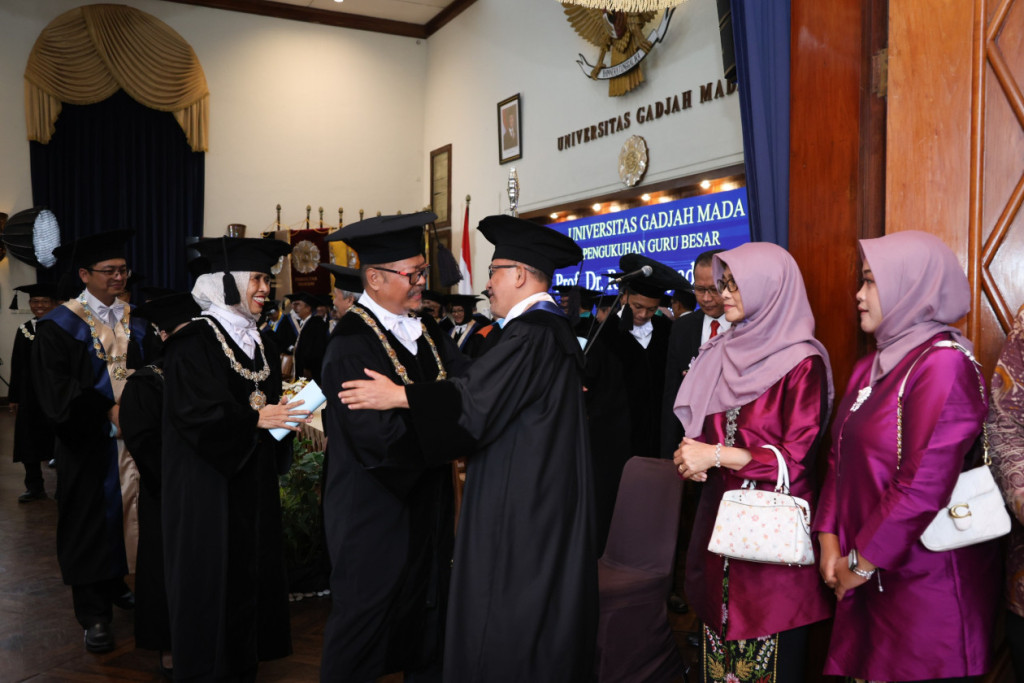
“This method offers advantages over others, as it allows the integration of advanced technologies such as hyperspectral analysis using high-resolution data,” said Dr. Suharyadi, a lecturer at the UGM Faculty of Geography, during his inauguration as a professor at the UGM Senate Hall on Thursday (Jun. 5).
Professor Suharyadi noted that hybrid interpretation presents its own challenges in its development. Applying this method requires complex computing and highly intensive computational systems.
“Another challenge lies in the growing volume and complexity of remote sensing data, which poses issues in spatial data management and processing,” he explained.
According to Professor Suharyadi, interdisciplinary collaboration is crucial to address these challenges.
“Multidisciplinary collaboration with other fields such as computer science, environmental science, social and political sciences, or others is essential to develop innovative solutions,” he emphasized.
The development of hybrid interpretation holds great potential in supporting urban surveys through remote sensing technology, which has been introduced since 1858. One of the major advances in remote sensing is the evolution of sensor technology over time.
Multispectral and hyperspectral sensor technologies enable detailed data acquisition and analysis involving hundreds of spectral bands, thereby offering opportunities for more comprehensive spectral analysis.
“These advancements will broaden the applications of remote sensing across various fields, from environmental monitoring to urban area management,” said Professor Suharyadi.
Author: Tiefany
Editor: Gusti Grehenson
Photographer: Donnie