

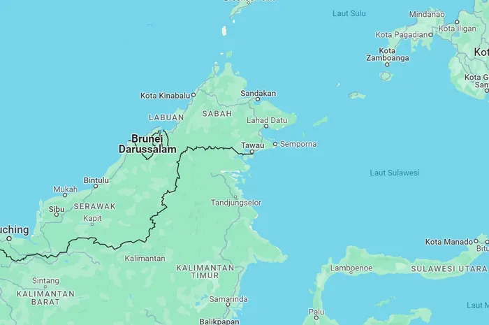
The long-standing maritime border dispute in the Ambalat region between Indonesia and Malaysia has resurfaced in public discourse. This follows an agreement between Indonesian President Prabowo Subianto and Malaysian Prime Minister Anwar Ibrahim to pursue joint management of the Ambalat Sea, located in the Sulawesi Sea or Makassar Strait.
A geodesy expert from Universitas Gadjah Mada (UGM), Dr. I Made Andi Arsana, deems that the cooperation agreed upon by the two leaders is a temporary agreement.
Both countries have equal rights to manage the area and share its resources. However, Dr. Arsana stressed the need for clearly defined maritime boundaries.
“There must eventually be a formal agreement on the maritime border, whether the area is divided in half or Indonesia urges Malaysia to assert its claim over the territory. The current agreement should not be considered final,” said Dr. Arsana on Thursday (Jul. 10).
According to Dr. Arsana, this cooperation must be closely monitored by all stakeholders, as the Ambalat region is rich in oil, gas, and marine biodiversity. Moreover, several instances of destructive fishing practices have been reported in the area.
“The Ambalat dispute certainly hampers Indonesia’s efforts to enforce policies aimed at protecting marine ecosystems,” he explained.
Although joint management has been agreed upon, Dr. Arsana believes the decision must lead to a clear understanding of which specific areas will be jointly managed, how the management and benefits will be shared, and the duration of the cooperation.
“We hope this agreement can serve as a stepping stone toward a final decision on the maritime boundary between Indonesia and Malaysia in the Makassar Strait,” he stated.
He noted that the maritime boundary between Sabah, Malaysia, and Kalimantan, Indonesia, extending toward Sulawesi Island, has long remained unresolved.
From 1966 to 1970, Indonesia conducted oil exploration in the region without a prior agreement with Malaysia.
At the time, Indonesia unilaterally established its maritime boundaries by drawing lines from its outermost islands. The Indonesian government considered all waters to the south as its own territory and those to the north as belonging to Malaysia.
However, in 1979, Malaysia claimed a portion of the southern waters, including areas already managed by Indonesia.
“In fact, both Indonesia and Malaysia issued unilateral claims. No agreement had been reached at that point,” Dr. Arsana noted.
Over time, Indonesia continued to develop projects in the disputed area known as the Bukat and Sebawang Blocks. Interestingly, Dr. Arsana pointed out that the development areas appeared to follow Malaysia’s unilateral claim.
It was not until 1999 that Indonesia formally designated the 15,235 square kilometer Ambalat area as an oil and gas project. The dispute persisted, and in 2005, Malaysia began operations in the area according to its earlier claim.
In essence, Indonesia and Malaysia have not reached an agreement, but have carried out marine resource management in the same area.
“From a neutral perspective under maritime law, this area does not yet belong to either country. However, it is essential to note that there is an overlapping claim here. Not all of the Makassar Strait falls under Ambalat,” Dr. Arsana concluded.
Author: Tasya
Editor: Gusti Grehenson
Post-editor: Anisa Nurliana
Illustration: Intisari