

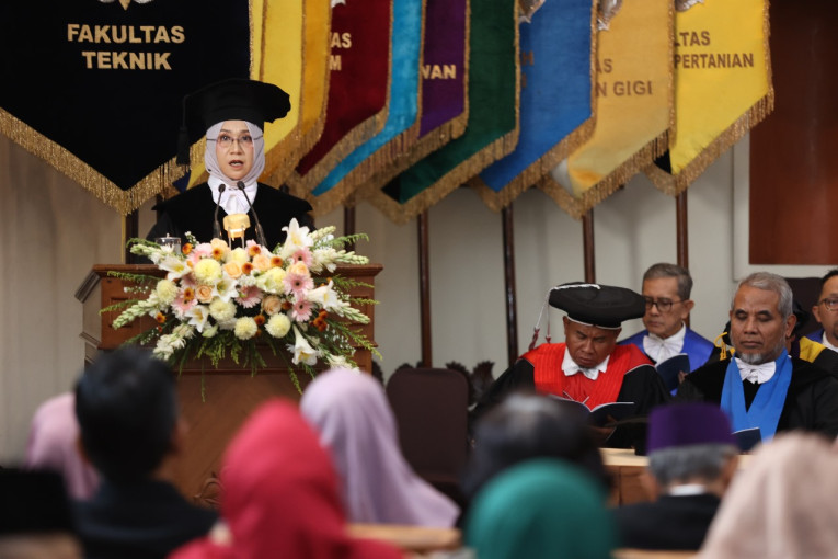
Amid rapid technological advancements and the growing demand for accurate information, the role of geodesy has become increasingly strategic. The application of precise coordinate systems and geospatial reference systems plays an essential role across various fields. This was highlighted by Dr. Nurrohmat Widjajanti, a lecturer at the Department of Geodetic Engineering, Faculty of Engineering (FT UGM), during her inauguration as professor in geometric geodesy on Thursday (Sep. 4) at the UGM Senate Hall.
In her inaugural speech titled “From Points to Maps: Contributions of Coordinate and Reference Systems in Geospatial Data Governance to Support Sustainable Development Policies”, Professor Widjajanti explained that geometric geodesy is a branch of geodesy that mathematically and geometrically examines the shape and size of the Earth.
She noted that the Earth’s representation, as used by different regions or countries, and even across different periods, is not always the same. As a result, the position of a point on the Earth’s surface measured using two different reference systems may yield non-identical coordinate values.
“A deep understanding and proper application of projection systems and map scales are crucial to ensure the accuracy of geospatial data,” she said.
The implementation of accurate coordinate systems and geospatial reference systems, she continued, plays a vital role in many sectors. In Indonesia, one example is the operation of national strategic projects such as the Sea Toll Program and the Patimban Port in West Java.
Similarly, digital map applications, including online transportation services and mobile-based location search technology, illustrate how geodetic coordinate systems serve as the foundation for location-tracking technologies now widely used.
Professor Widjajanti further pointed out that inconsistencies between systems used by different stakeholders can cause significant positioning errors. Such conflicts may include overlapping or misplacement of locations on maps, disputes over territorial boundaries, conflicts arising in land-use licensing and utilization, and inconsistencies in geospatial data.
“Navigation system mismatches and errors in geospatial analysis also often occur due to the use of data from sources with differing reference systems,” she explained.
With the rising demand for geospatial data accuracy in engineering and infrastructure, the challenges of obtaining and analyzing high-precision data are becoming increasingly complex. This is particularly evident in structural deformation monitoring, where even the slightest shifts or positional changes can greatly affect the safety and stability of buildings.
Differences in coordinate systems and geospatial reference frameworks within geodesy, she emphasized, call for simultaneous and integrated strategic measures. Professor Widjajanti emphasized that strengthening geodesy education is crucial for equipping graduates with a solid theoretical foundation.
“Collaboration among academia, government, and industry must be enhanced to build geospatial reference systems that are consistent, interoperable, and principled, so that geospatial data can be optimally shared and utilized across sectors,” she stressed.
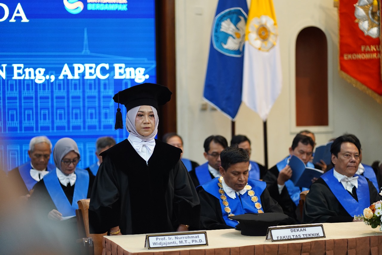
Secretary of the UGM Board of Professors, Professor Wahyudi Kumorotomo, stated that Professor Nurrohmat Widjajanti is one of 543 professors at UGM and, at the faculty level, one of 88 active professors out of 108 who have served at FT UGM.
Author: Lintang Andwyna
Editor: Gusti Grehenson
Post-editor: Rajendra Arya
Photographer: Firsto Adi