

Cempaka Tropical Cyclone which happened in the southern part of Central Java caused the change of weather pattern in its surrounding areas. It caused a heavy rain potential in Banten, Jakarta, West Java, Central Java, Yogyakarta, and East Java.
“The impact of the cyclone was felt since November 27, 2017, which consists of strong winds, big sea waves, heavy rain, landslides, and floods,” said Danang Samsurizal, S.T., Manager of Centre for Operational Control of Yogyakarta Disaster Management Authority at Graduate School UGM on Thursday (7/12).
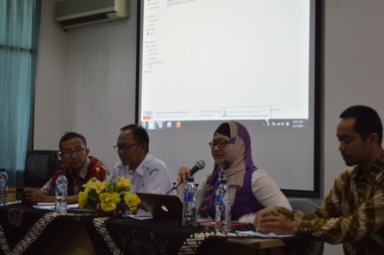
Becoming the main speaker at Roundtable Discussion entitled Important Lessons from Cempaka Tropical Cyclone Based on Early Warning System Aspect and Socialization, Danang Samsu said Cempaka Cyclone had caused casualties and properties in Yogyakarta and surrounding areas. Meanwhile, thousands of people impacted by the disaster had evacuated due to broken ground transportation routes.
“We have obtained data from Center for Meteorology, Climatology, and Geophysics, including previous qualitative data. In fact, Yogyakarta is always tested by an unexpected natural disaster. In 2016, we built a station in Pakem to face the eruption of Mt. Merapi, however, unexpectedly, an earthquake happened in Bantul,” he added.
Despite having obtained the data, according to Danang, regarding Cempaka Cyclone, the lesson learned that can be taken from it is the lack of Early Warning System for extreme weather, particularly risk recognition, impacted areas analysis, and information delivery.
“Therefore, the Centre has to enhance its capability in managing Early Warning System, particularly for extreme weather,” said Danang.
Agus Sudaryatno, S.Kom., M.M., Head of Climatology Station Yogyakarta, said since the detection of the tropical cyclone, Center for Meteorology, Climatology, and Geophysics had announced early warning towards the related parties, including the community through various media.
According to Agus Sudaryatno, Cempaka Cyclone in the Southern part of Java Island had moved to the east, thus causing a wind turn and the increase of cumulonimbus in Yogyakarta region. The flow of wet air mass from the west caused the air condition in Java and Yogyakarta unstable.
“The interaction between those two phenomena affects the weather condition in Yogyakarta in the form of heavy rain potential, increase of wind speed, and big waves in the southern sea,” said Agus.
The same statement was delivered by expert, Prof. Dr. H. A. Sudibyakto, M.S., in a scientific journal entitled Analysis of Flash Floods Caused by Tropical Cyclone. Sudibyakto said the weather problem in the form of YVETTE and CEMPAKA tropical cyclones cause wind turn and deceleration, thus there will be convective clouds which cause a continuous heavy rain.
“Data of rainfall during the tropical cyclone period show an extreme rain intensity category,” said Sudibyakto.
On the other hand, Dr. Ir. Dina Ruslanjari, M.Si., hopes in facing the disaster, the Regional Disaster Management Authority can play the role in coordinating with other related institutions, including Center for Meteorology, Climatology, and Geophysics, National Search and Rescue Agency, Private Parties, Volunteers, Academicians, as well as the community. Through this synergy, those institutions can reach a better result in performing disaster mitigation.